Maryland Heat Wave Peaks Before Storms Bring Relief Thursday
Maryland Heat Wave Intensifies Through Midweek, Storms Arrive Thursday

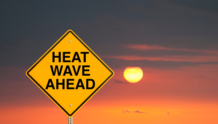
Maryland’s heat wave is reaching its peak, with dangerous heat and humidity continuing through Wednesday. After that, a cold front brings the threat of storms—and finally, relief by the weekend.
Dangerous Heat Through Wednesday
Monday marked the fourth day of this ongoing heat wave, with highs in the mid-90s and full sunshine. Conditions will only intensify Tuesday and Wednesday. Heat alerts remain in effect, as heat index values will soar past 100°F by late morning and remain elevated into the evening. Actual air temperatures are expected to reach the upper 90s, with some urban areas like Baltimore City possibly hitting 100°F.
Orioles Doubleheader in the Heat


The Baltimore Orioles host a doubleheader Tuesday under scorching conditions. Game 1 is expected to start around 93°F, with “feels-like” temps over 100°F throughout. Game 2 at 6:35 p.m. will still be hot, though the setting sun may provide some relief.
Fans are urged to stay safe by wearing light clothing, staying hydrated, and taking breaks from the sun. The good news: there’s no rain in the forecast, so both games should proceed as scheduled.
Storm Threat Thursday
A cold front will approach late Wednesday into Thursday, bringing a risk of severe weather. Isolated storms could form Wednesday night, though most areas will remain dry. On Thursday, conditions become more favorable for storms to develop, especially in the afternoon and evening (3 p.m. to 11 p.m.).
If storms do form, they could bring damaging winds, heavy rain, flash flooding, and intense lightning. The WJZ First Alert Weather Team is monitoring the setup and may issue a First Alert Weather Day for Thursday if confidence increases.
Relief Arrives Friday
The cold front will push farther south Friday, bringing scattered showers and a significant drop in temperatures. Highs will only reach the mid to upper 70s, offering a welcome break from the heat.
Beautiful Weekend Ahead
Looking ahead, this weekend could bring some of the best weather of the summer. High pressure will usher in cooler, drier air from Canada. Expect mostly sunny skies, highs in the low 80s, and crisp overnight lows in the 50s and 60s—perfect for open windows and outdoor plans.
Maryland Heat Wave Intensifies Through Midweek, Storms Arrive Thursday was originally published on wolbbaltimore.com